
In-house UAV platform
Airframe design, sensor and payload integration, onboard and back-end software.
Research and development · Slovakia
Research and development of unmanned systems and artificial intelligence for agriculture and forestry.
What we doOur approach
We capture data from drones, analyse the imagery and plan targeted action in the field. Our methods are validated directly on farms, orchards and forests in western Slovakia.
Areas of work
From an in-house platform and aerial imagery to validating the results at real sites.
Airframe design, sensor and payload integration, onboard and back-end software.
Detection of drought stress and vegetation anomalies from multispectral imagery, scaling to satellite data for large areas.
Multispectral and RGB imaging, orthophoto maps, vegetation indices and repeat flights for time series.
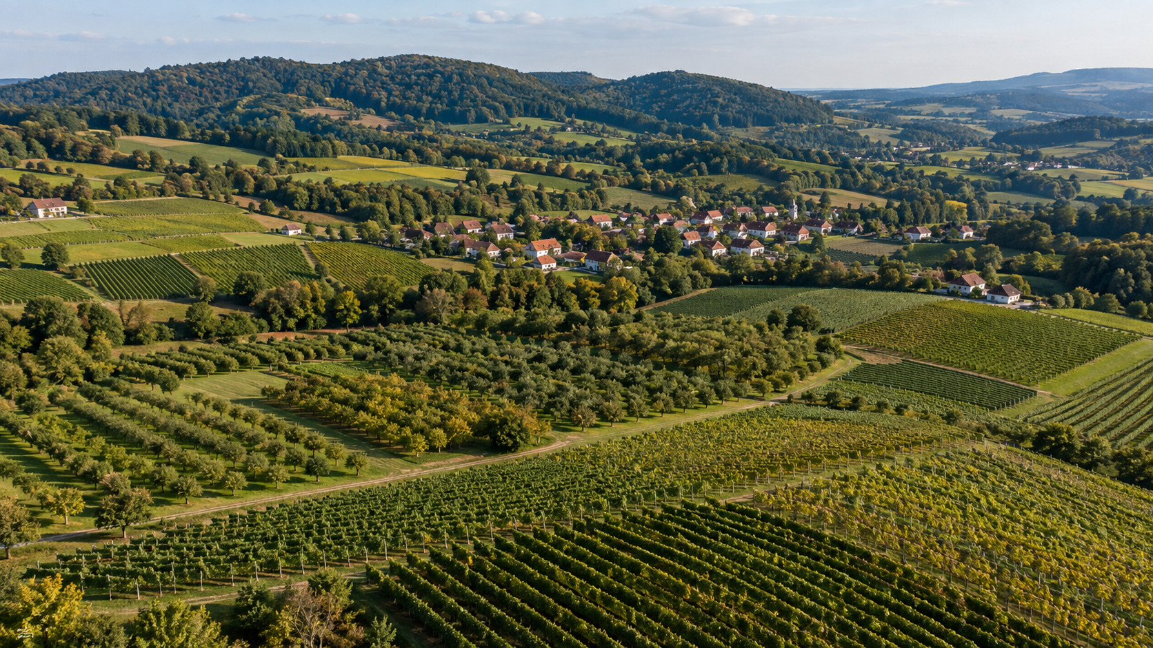
Partner farms, orchards, vineyards and forest plots across varied terrain, suited to Living Labs and demonstrations.
In practice
Partner farms, orchards, vineyards and forest plots across varied terrain provide sites for Living Labs and demonstrations.
Partnerships and projects
We are looking for partners in Horizon Europe consortia (Cluster 6) and in projects that need real agricultural and forest sites in Central Europe. We can join as task leader, Living Lab or validation partner.
Get in touch